The remains of Janice Ott and Denise Naslund were recovered near Issaquah in 1974. The landscape described in the historical investigation has since been redeveloped.
Access & Visiting Information
The historical setting has changed. No public access to private land or buildings has been verified.
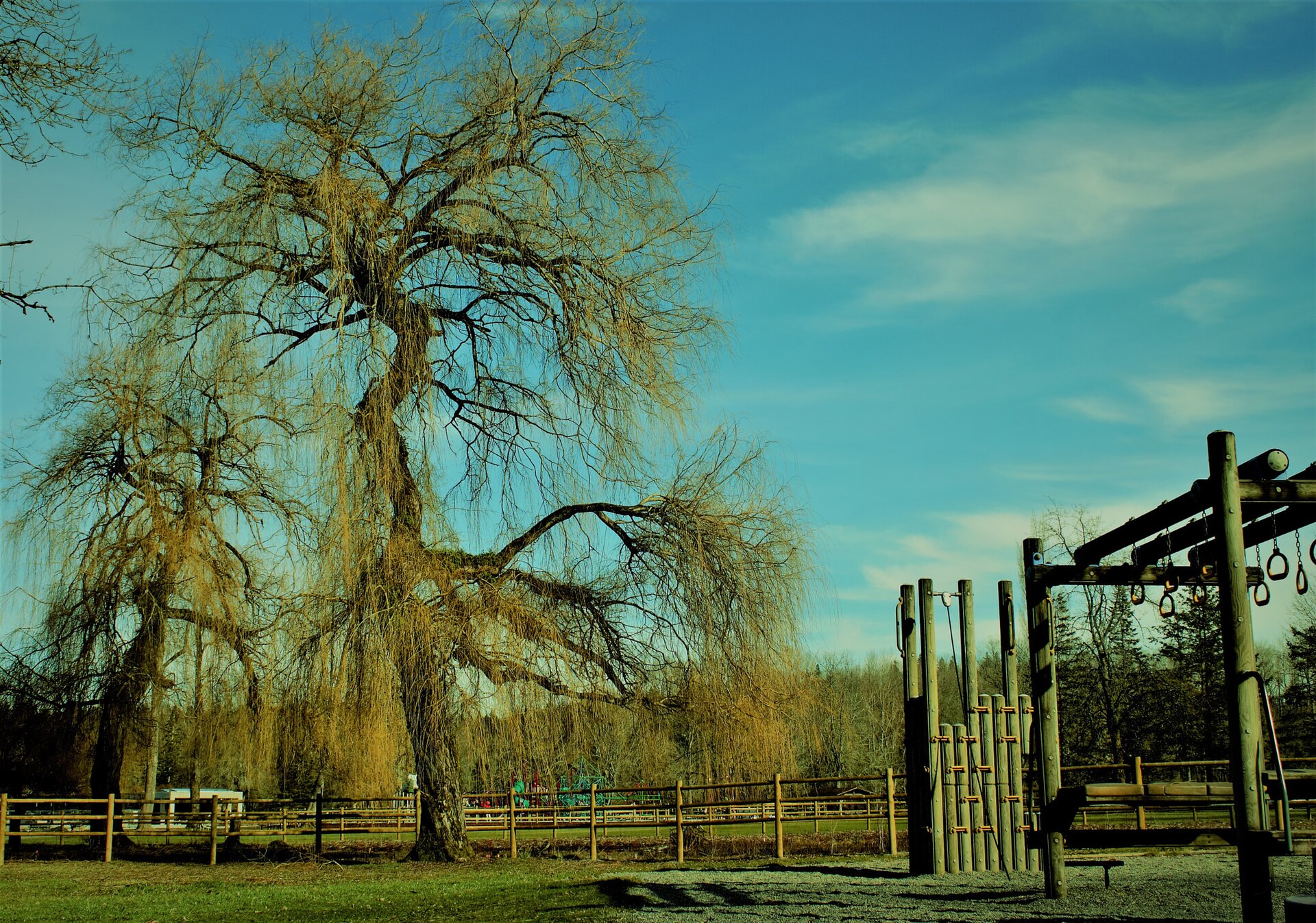
A landscape and play area at Lake Sammamish State Park, photographed in 2011. This is a later view of the park, not a photograph of the 1974 abductions.
Narasimhan Govindarajan · CC0 1.0. Displayed to fit; adaptations under the same license. Photo may predate current conditions.
Janice Ott and Denise Naslund were abducted from this park on July 14, 1974.
Access & Visiting Information
A day-use state park, listed by Washington State Parks as open 6:30 a.m. to dusk year round. Vehicle parking generally requires a Discover Pass. Check the official page for closures and current access information.
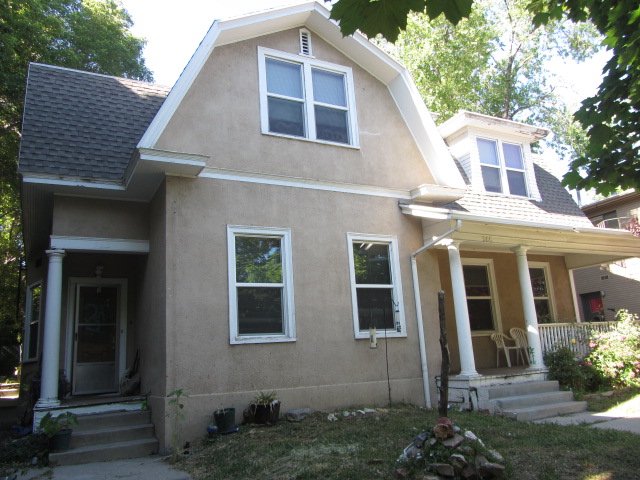
Bundy rented a second-floor room here beginning in September 1974.
Access & Visiting Information
Private residential property. No museum, tour or public admission was verified. The page notes that recent Street View imagery is blurred. Present only as historical context.
“No verified match” describes the accessible material found in this review, not proof that a source has never covered the case. MAP’s anonymous records were not individually matched to people.
Maps & Further ResearchOutside maps, data and reading guides+
A FIELD GUIDE TO THE MAPS
Follow the geography
Use these outside resources alongside the case library. Each answers a different question about a place.
Patterns · U.S. homicide data
Murder Accountability Project
The county dashboard groups homicides to help researchers examine geographic patterns and reported clearance rates. Similarities can suggest questions for investigators; they do not prove that cases share a perpetrator.
Check the county and reporting agency, then adjust the year range. The link opens an unfiltered source page.
Individual Supplementary Homicide Report data starts in 1976 and omits victims’ names. Older cases and the Canadian Bernardo–Homolka case are outside that coverage.
A report’s original solved/unsolved classification may not reflect later developments. Use current case reporting for case status.
Distinguish a statistical resemblance from a connection established by evidence. Missing reports also limit comparisons.
Explore 78 historical locations researched using Odd Stops, alongside our other sourced landmarks. Read the case connection and access notes on Unforgotten Casebook, with licensed photographs where available. Original sources are credited within each guide.
A listed address does not mean a place welcomes visitors. Check each card for museum, public-space, private-property or demolished-site information.
Theresa H Ye’s January 2021 ArcGIS StoryMap presents an international tour and a section on Samuel Little’s geography. It includes U.S. profiles of Gacy, Dahmer and Bundy.
An independent presentation hosted on ArcGIS, not an official police map. Its biographical claims and victim figures need separate verification; use it as supplementary reading.
A January 2023 r/MapPorn post shares a map described by its poster as based on Wikipedia. The discussion raises concerns about missing people and misplaced markers, including birthplaces versus crime locations.
We have not adopted its coordinates or victim counts. Its “all known” title is the poster’s claim, not a verified statement of complete coverage.
External resources reviewed September 14, 2026. They have their own coverage, terms and privacy policies. Maps and photographs from these sites are not automatically licensed for reuse.
Location Source ReviewsCoverage, methodology and the downloadable checklist+
LOCATION COVERAGE · SEPTEMBER 14, 2026
Sources for Documented Locations
These 36 cases have documented locations and a source review. We opened matching location pages and reviewed the supplied ArcGIS essay and Reddit discussion.
36cases reviewed
34cases with Odd Stops locations
78individual location pages
3MAP case discussions
A source can mention a person without documenting a location. One additional Odd Stops case and Ted Bundy’s MAP result are mentions only. Two candidate location pages were inaccessible and remain unverified. “No verified match” means none was found in the accessible material searched; it does not establish absence from an entire archive.
What this review covers
For each cataloged case, searches used the case name and relevant names or aliases. We also inspected accessible Odd Stops index pages and MAP’s available blog feed. Each included location page was opened to check its connection, and the address or area was labeled as historical, biographical, a recovery site, or another specific connection.
MAP’s three direct case discussions concern Ridgway, JonBenét Ramsey, and Samuel Little. Bundy appears in a board member’s biography. We did not match people to anonymous homicide rows or treat a county cluster as proof of a shared perpetrator. The 2021 ArcGIS essay includes four cataloged cases; the Reddit map’s coordinates and counts were not imported.
This is a review of the four linked map resources, not a fresh verification of every court record, media item, or present-day property condition in the case library. Photographs require separate reuse permission, and visitor access requires current venue information.